Saturday, September 27.
Georgetown to Augusta.
Super 8’s breakfast offering was very weak, so we walked down the block to the Cracker Barrel – a delicious healthy offering! But by the time we got good air it was 9:50 before we hit the road.
The ride to Cynthiana was a relative easy run but Diane still was feeling the effects of her fall, and the fatigue from the difficult ride the day before. When we were about to reach the east end of Cynthiana, Hwy 62 was posted as having no shoulder. No such sign had appeared previously, so we took this as a warning not to ride it. And once again decided to hitch a 10-mile ride to rural route 19, our final road leading to Augusta.
Hwy 19 was a fun ride in spite of 3 two-mile steep climbs - it was more like what we had hoped the entire Kentucky ride would be. The B&G Country Store in Powerville was a perfect resting spot about 3 miles from Brooksville. After Brooksville the road was even better, although there was still some significant climbing to do. And then we reached the final one-mile descent into Augusta, and to our last night in Kentucky at The Parkview Inn, an old hotel just a block from the Ohio River, where we enjoyed a great buffet dinner.
Now that Kentucky is over, I think I have found the key to a successful ride across this state. You need to find a "ridge road to run." On a map, these roads show as wiggle lines where the streams fall away from the road in both directions. Because anytime you cross a stream/river in Kentucky it is a quick descent followed by an arduous climb back to the top of the ridge. (Diane says, "Rob, you are just now figuring this out????)
Diane rides a Kentucky ridge road.
The classic country store with a great owner.
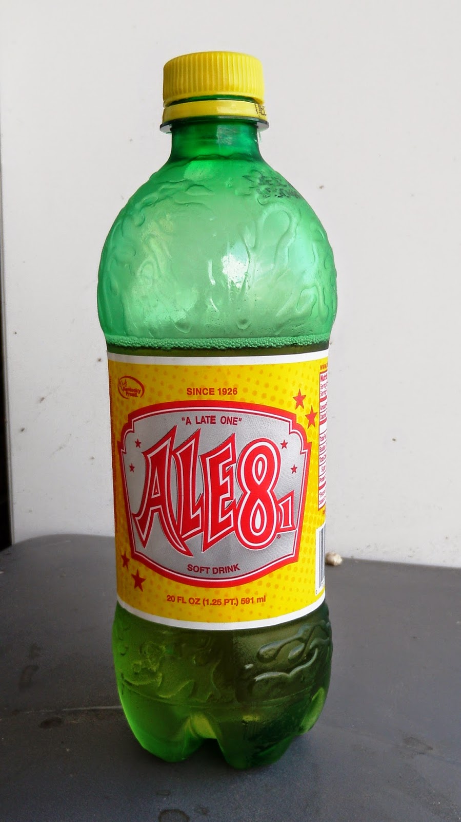
Where one can buy Kentucky's only soda and a classic Dr. Pepper :)
The Déjà vu sign. Kentucky is one of those Southern states that starts mile markers over at the county line with zero. And with 129 counties we saw this a number of times.


Oh how I enjoy your photos and blog so very much. You guys seem to making good time - amazing how far you've gone already. So proud of you. Stay safe - love you. BK
ReplyDelete